What's that Cloud?
I’ve always loved clouds. Flying through them especially, surfing the tops is like being in magical parallel universe. However not all clouds are that friendly. Here are a few of my top cloud pictures i’ve snapped and a little cloud bio to go with them.
Cumulonimbus
Shape: Towering plumes of fluffy dangerous looking clouds
Height: Base can be as low as 1000ft but they go as heigh as the troposphere (65,000ft that’s high! )
Precipitation: Heavy rain and thunderstorms
Avoid or Fly : AVOID AVOID AVOID
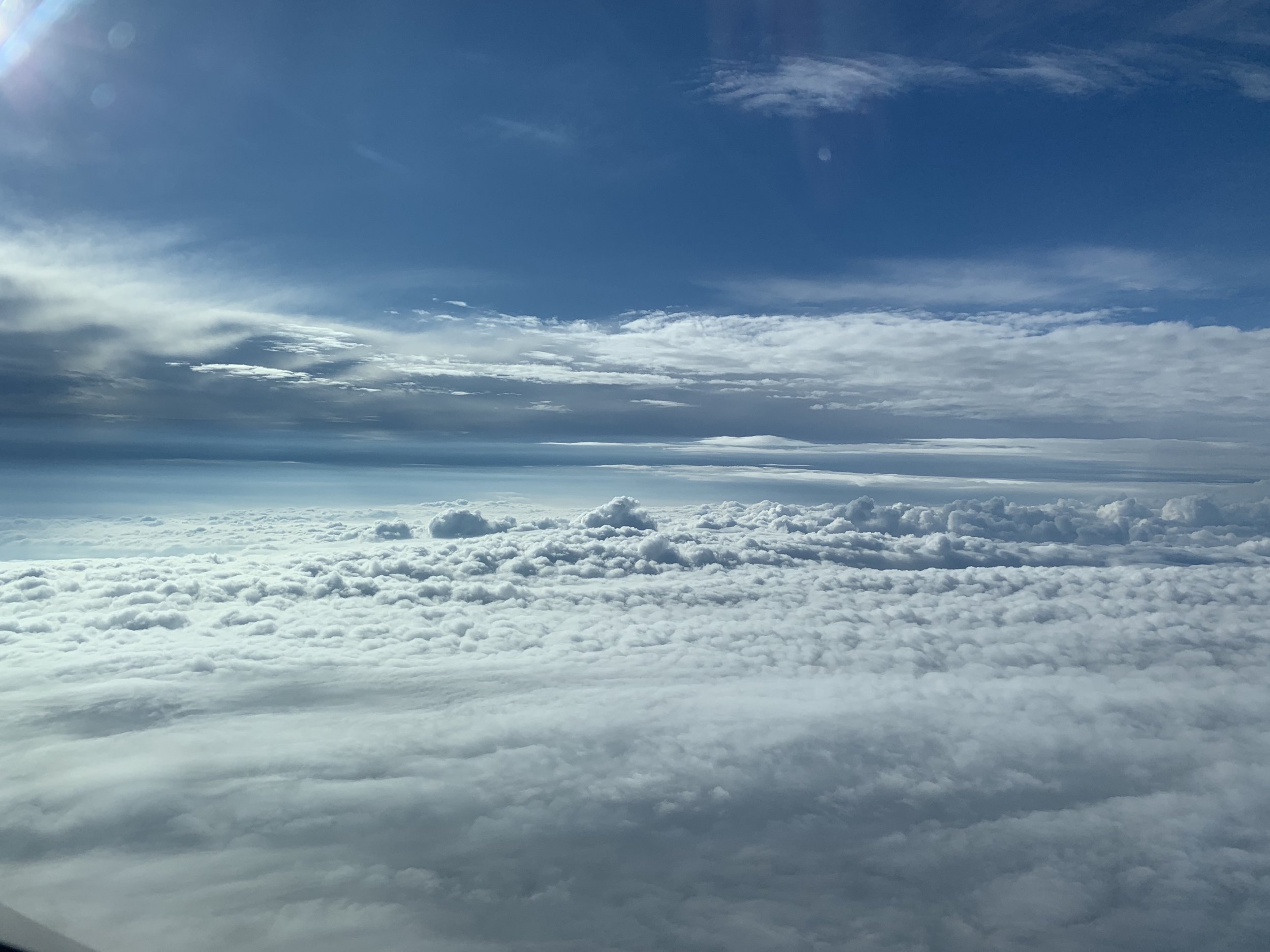
A Growing Cumulonimbus
Cumulonimbus, more commonly know as thunderclouds, are the only cloud to produce hail, thunder and lightening. The base is often flat with a very dark wall like feature underneath just a few hundred feet above the ground with the tops towering above. We fly around these or over if the tops are low enough! They are very convective, meaning the air is moving a lot inside and around. Big up-draughts and down-draughts.
How are they formed?
Through convection, often growing from small cumulus clouds over a hot surface. Cooler air comes in contact with the warmer earths surface, the air warms and rises creating upward currents. The clouds then get taller and taller until they represent huge powerhouses, storing the same amount of energy as 10 Hiroshima-sized atom bombs.
Cirrus
Shape: Wispy, hair-like, layered
Height: High 20,000 - 40,000ft
Precipitation: none
Avoid or Fly : Fly

Cirrus
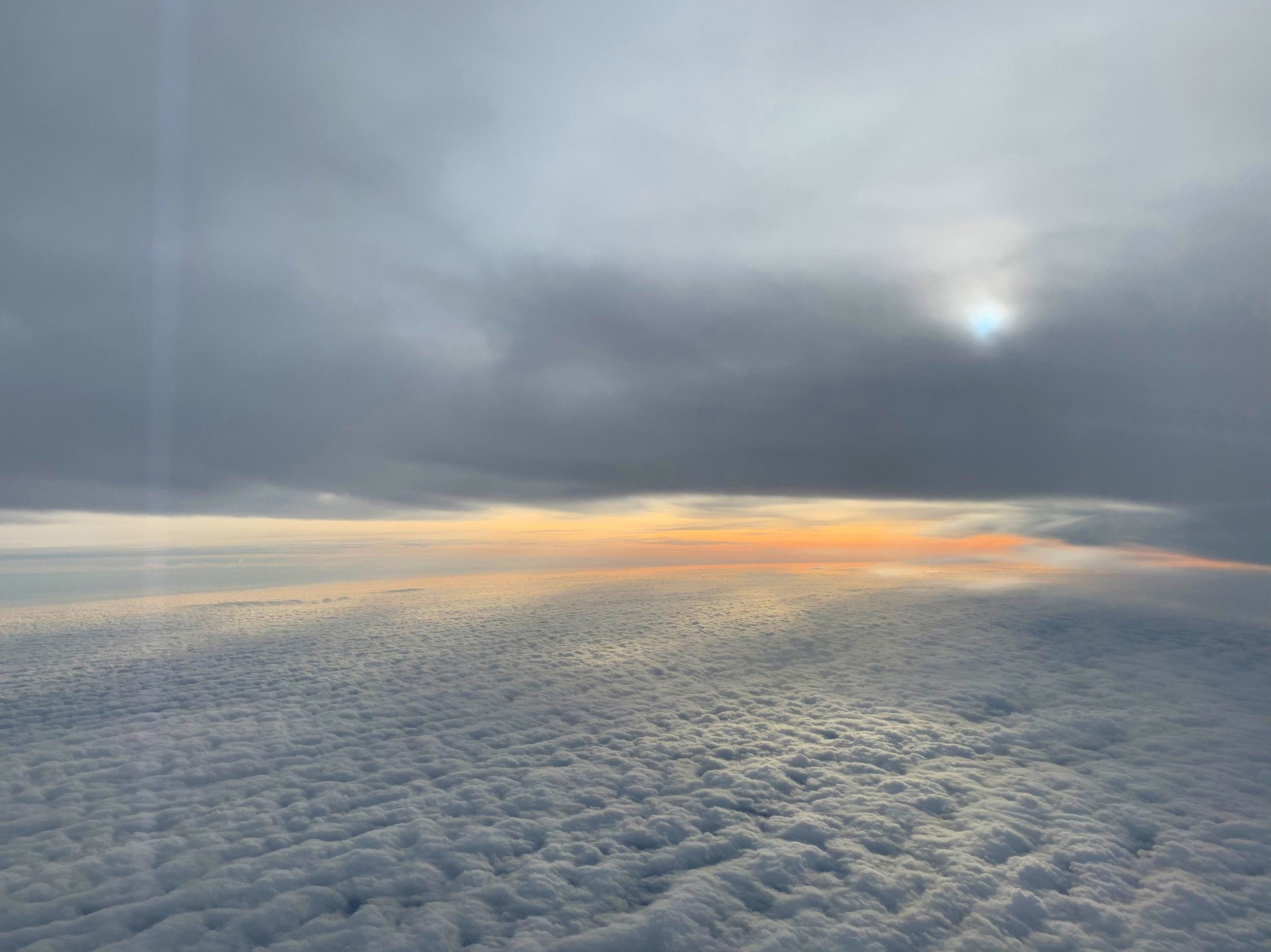
Cirrus clouds are short, detached, hair-like clouds found at high altitudes. They’re delicate, wispy with a silky look, a bit like strands of hair. I always think they’re quite etherial. As you can see here, in the day they’re very white, but at sunrise or sunset they can take on the beautiful colours of the sky.
How are they formed?
When dry air rises, the small amount of water vapour undergoes deposition into ice (going from a gas straight to a solid). Cirrus are made up of entirely ice crystals which is why they are so white and varied in shape!
Pilots can also make cirrus clouds! Our aeroplanes leave contrails of water vapour as we fly through the dry upper troposphere. These streaks can spread out and become cirrus, cirrostratus and cirrocumulus. Making those pretty patterns in the sky.
They often form in advance of a warm front where the air masses meet at high levels, indicating a change in the weather is on the way. Hello summer!
Cumulous
Shape: Popcorn clouds , fluffy cauliflowers
Height: Low level 1,200 - 6,500 ft
Precipitation: Occasional rain or snow showers
Avoid or Fly : Depends on the size!

Cumulous
Associated with fair weather, they’re usually spotted as separate, fluffy, what I like to call, popcorn like clouds. Very common in British summertime.
How are they formed?
Probably as you remember learning in geography at school, air is heated at the surface, rises and the water vapour cools, condensing to form a cloud. As I fly over the south coast back into the UK these are very common. During the day a sea breeze brings in moist air, which is then warmed by the surface and so cumulous form over the land. At night this reverses, as the sea becomes warmer than the land and cumulus form over the sea.
Stratocumulous
Shape: Clumps or patches of heaped clouds
Height: Low level 1,200 - 6,500 ft
Precipitation: light
Avoid or Fly : Fly

Stratocumulous
They are the most common clouds on earth, and are characterised by their well defined often flat bases with some parts often darker than others. They usually have gaps between them, but they can also be joined together. Often mistaken for rain clouds, they will actually only produce light drizzle at most. Not a problem to fly through, they might cause slight bumps but nothing to write home about.
How are they formed?
Stratocumulus clouds usually form from a layer of stratus cloud breaking up. They indicate a change in the weather and are usually present near a warm, cold or occluded front.
Stratus
Shape: Often like a cotton wool blanket covering the earth
Height: Low level 1,200 - 6,500 ft
Precipitation: If any, misty drizzle
Avoid or Fly : Fly
Stratus
Stratus clouds are low-level layers, very common and look like a blanket of with a fairly uniform grey or white colour when you look up to the sky on an overcast day. They’re a bit pesky and can hang around for long periods of time as . Being the lowest lying cloud type they sometimes appear at the surface in the form of mist or fog.
How are they formed?
Stratus clouds are formed in calm, stable conditions when gentle breezes raise cool, moist air over the colder land or ocean. They vary in thickness, but as we know here in the UK they can be opaque enough to cause dreary days allowing for little light to pass through.
The Cloud Key
There are many different categories of clouds within these but primarily clouds are named by shape and height.use this handy key to make understanding clouds much easier!
Shapes
Cumulus - “heap”
Stratus - “layer”
Cirrus - “tuft of hair”
Nimbus - “rainy cloud”
Height
Cirro - high 20,000ft -40,000ft
Alto - middle 6500-20,000ft
(Low) no prefix but anything below 6500ft
So a big heapy looking rain cloud would be Cumulus + Nimbus = Cumulonibmus!
Happy cloud spotting x